The Edge (Of The Empire)

Once Upon A Time, Down A Road Far Far Away…

Motorcycling is a pretty new sport, as far as sports and hobbies go. The very first motorcycle started rolling only a little more than a hundred years back.

Naturally, as with any sport, people set out to stake some flags in the ground for things no one had ever done before, for the glory, the pride, and just for the sake of doing it.

And let’s admit, there’s a decent amount of glory to be had in setting a new motorcycle record, especially a hundred years ago. Those men and women didn’t even wear helmets back then.

In fact, the very first motorcycle record was set not even a decade after the first motorcycle was sold, by a native Californian, George Wyman.

Wyman plotted a course from downtown San Francisco to downtown Manhattan, and in 1903 he set a new world record as the first person to cross North America via any motorized vehicle. His trip was ~3,800 miles across railroads and dirt tracks, and he had to pedal his California Motorcycle Company bike the last 150 miles in New York State. His hands needed bandages by the time he arrived. Total trip time took 51 days.

He beat the first car to make the trip by 20 days.

Not long afterward, Erwin “Cannonball” Baker set a new record, riding his Indian bike from coast to coast in 11 days. This ride would later become a famous ride known as “The Cannonball Run”, which still happens more-or-less annually to this day.

“Cannonball” Baker set 143 driving records between 1910 and 1930, and became the first commissioner of NASCAR.

Over the following decades of the 20th century, motorcyclists would go on to undertake a variety of other record-setting trips, sharing their stories however they could, inspiring future riders to come along and maybe, just maybe, do the same.

Some of the highlights range from the famous rider/journalist, Ted Simon, who circumnavigated the world on his Triumph in the early ’70s, to Dave Barr, a Vietnam veteran who became the first double-amputee to circumnavigate the world via motorcycle (on a Harley, no less).

Imagine that: riding your Harley across the Siberian ice in winter. He even wrote a book about it.

More recently (in our very own 21st century), Ewan McGregor and his buddy Charlie Boorman rode their bikes from London to New York, and documented it as a film series called Long Way Round. They’ve followed up with more in kind after that first series, and at the time of this writing are working on a third season.

In India, Gaurav Siddharth recently set the world record for the longest recorded motorcycle trip in a single country, taking the title from its prior holder, Danell Lynn.

Perhaps the most recent is Henry Crew, who set a new record for the youngest circumnavigation of the globe via motorcycle, and did so on his Ducati Scrambler Desert Sled. (More on Scramblers in a bit.)

Given all of this, one might ask the question, “What’s the next record a crazy motorcyclist is going to set?”

A New Record

There are a lot of records for circumnavigation. Usually this means “of the whole globe”.

And it’s quite a feat – plotting a course across several continents, crossing at least two oceans, and negotiating dozens of border crossings – it’s no wonder it takes months, or even years, to pull it off.

But is it the only thing we have records for circumnavigating?

There are also a lot of records for navigating things like The Southern Cross (in Australia), or for traveling the entirety of the Pan-American Highway. Both are grueling, challenging trips, and riders who’ve done them deserve the records they’ve set. Just completing a ride like these is itself a congratulatory feat of stamina, planning, and luck.

But they’re not circumnavigations, for all else they are.

What about a given continent? Has anyone ever circumnavigated a whole continent, by any means? Or even a single country? What would that even involve?

For clarity, let’s just cover what exactly circumnavigation is. From Merriam-Webster:

circumnavigate. v.

  • to go completely around, especially by water
  • to go around instead of through

Basically, this means to go “around the outside” of a thing, following the perimeter of whatever is in question (usually the globe) as closely as possible.

And there are a lot of circumnavigations, both of the globe and otherwise. The vast majority of these are via boat, followed by plane. There are a very few by bicycle. Motorcycle circumnavigations, comparatively, are lacking.

Interestingly, while there are a few circumnavigations of a single continent via boat, the same can’t be said for land. And for other circumnavigations, such as a single country or even sub-continent, the same is true: there aren’t any records. Nada. Zilch. Zero. Never been done by motorbike.

We’re not just talking about finishing where you started. Remember our definition? A circumnavigation has to be the outside perimeter. So this would be a route along the roads literally closest to the borders or coasts of a country, or all along the coasts of a continent.

This gives us two possible new records to be set: The First Recorded Circumnavigation of a Country by Motorcycle, and The First Recorded Circumnavigation of a Continent by Motorcycle.

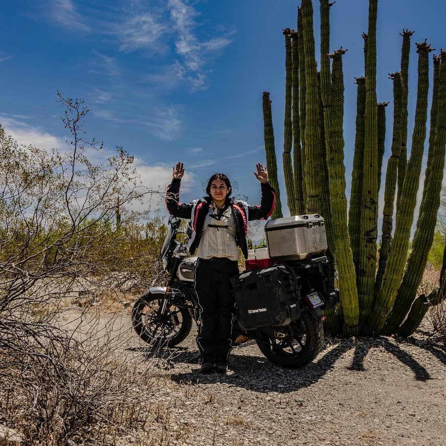
And in a little less than two weeks, I embark with my wife on an expedition to claim the first of those two records.

My partner and wife, also a rider, is embarking on this expedition on her own bike.

The Specifics

Setting a new record means we’ll need to define a few things. No one’s ever done this particular feat before, so to be the first also means that we have to come to terms with the bounds of the record. What counts? What doesn’t?

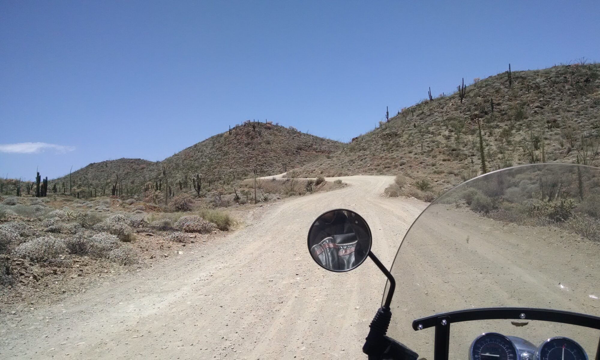
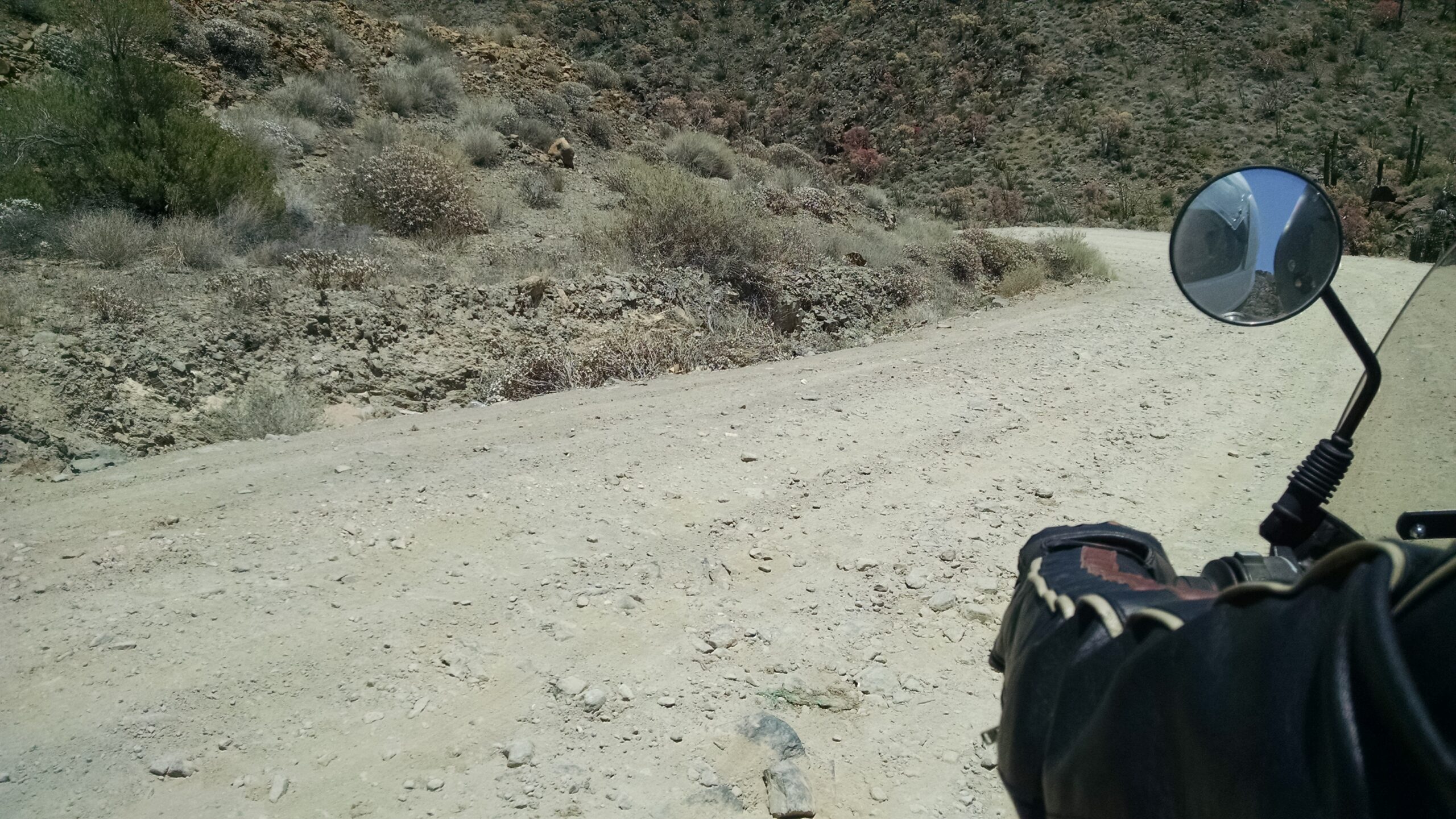
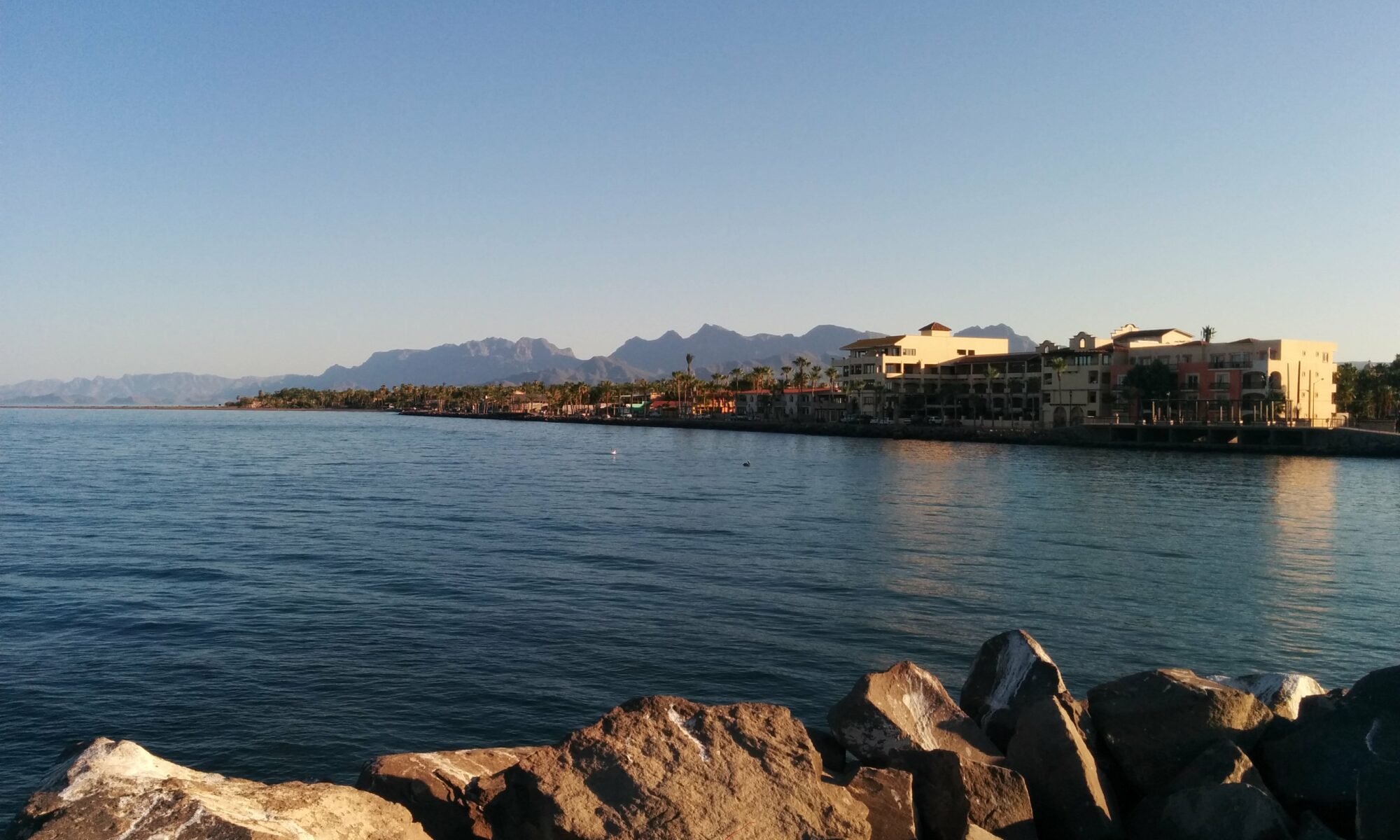
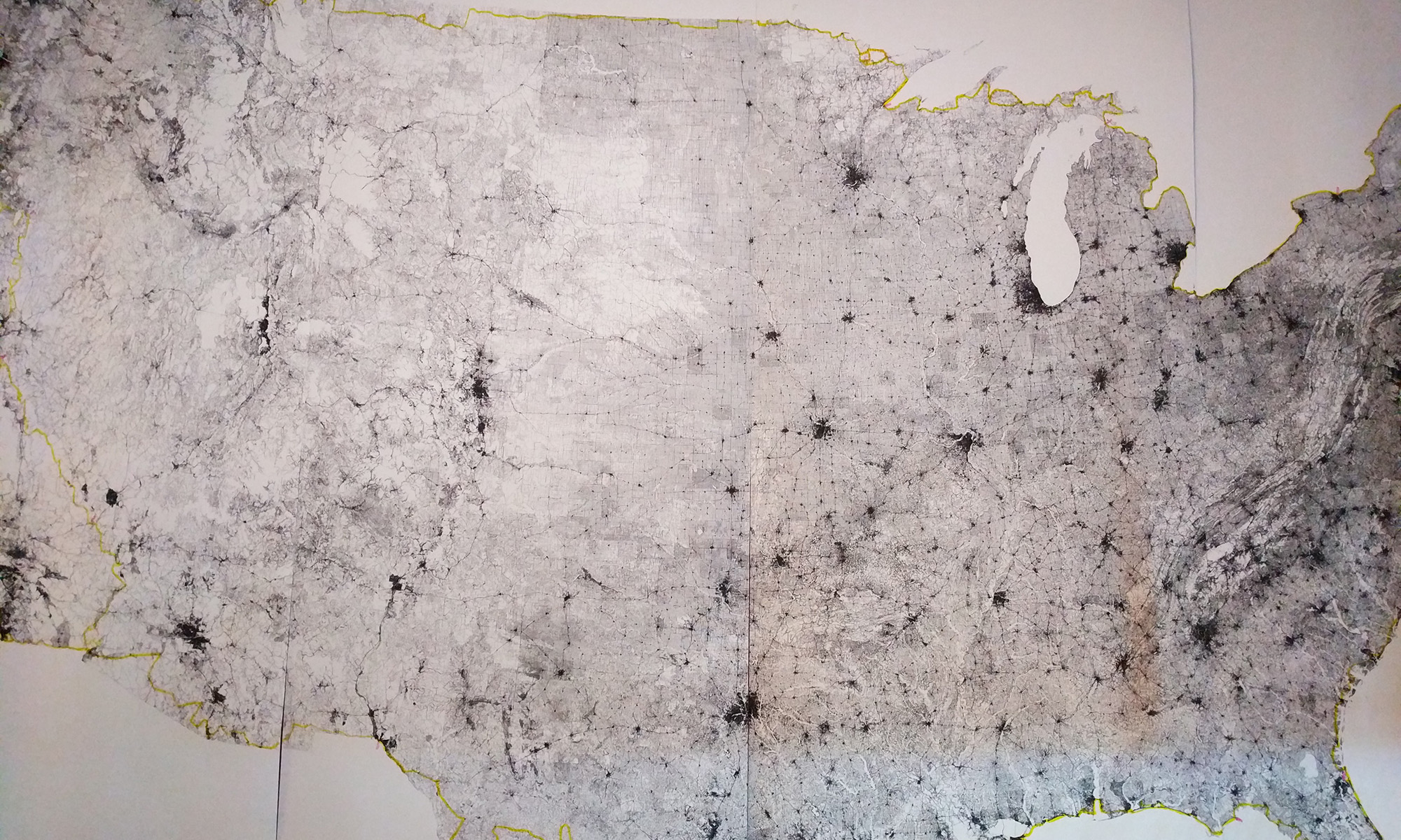
We live in San Francisco, so I’ll be using the Continental USA to set this record, following a route along the literal edges of the country: both coasts, as well as the Northern and Southern borders. The route starts, and ends, at the start of Great Highway (US-1), right at Ocean Beach and Golden Gate Park.

The total distance of the route should be somewhere between 12,857.2 and 15,995.5 miles, depending on factors such as road closures and construction, as well as which roads we end up using. Given an average ride time of ~8 hours a day, we anticipate the time of the trip will take no less than 32 days, and no more than 70, skewing closer to the mid-60-day mark depending on how many miles we can cover each day.

This means we anticipate living on the road for at least two months.

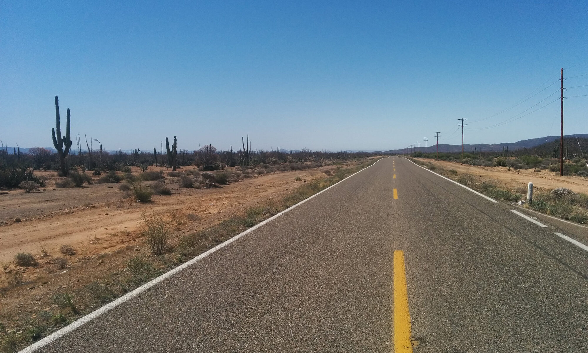
Weather is a significant constraint. This trip can only be achieved during the warmer months in the Northern Hemisphere, as many of the mountain passes are closed from Fall through Spring, as well as many of the roads in New England and the Upper Midwest.

By contrast, late Summer is hurricane season in the Southeast, which is weather that no motorcyclist wants to have to ride through, and which often causes evacuations and road closures due to flooding. Either of these scenarios basically torpedoes the trip, as we’d be unable to access the roads literally closest to the perimeter.

Geopolitical constraints may affect the route as well, given the amount of attention and situation along the US border at this time.

So what are the rules? Which roads count?

Google Maps, while comprehensive and extremely precise, isn’t a very accurate source of truth for mapping data. Often times the roads Google shows aren’t clearly labeled, aren’t passable, are privately owned, or don’t allow any kind of motorized traffic. Google doesn’t always label these as such, as they pull map data from many, many sources, not all of which agree.

In fact, some roads on Google Maps don’t even accurately reflect the actual path of the road in reality – maybe it did at one time, but it hasn’t been updated, or is pulled from an inaccurate data source in the first place. So as detailed as it is, Google Maps can’t be relied upon as a source of truth for US roads.

By contrast, any road atlas you might buy in a store or online isn’t nearly as granularly detailed as Google Maps is. But it is, at least, officially “accurate”.

Data for road atlases is pulled from some of the same government data Google Maps uses, but only lists roads verified as “official” (municipal, state, or federal), as well as listing “other” or “local” roads with varying local conditions which may or may not apply, such as being private property, or even entirely washed out and no longer passable.

However, even the most coarsely detailed road atlas details accurate “official” roads, otherwise the company selling the atlas could be sued for selling a misleading product. This means one important thing.

Road Atlases serve as a good source of truth.

So using a detailed road atlas, like from Rand McNally or AAA, serves as a good way to plot a route around the absolute perimeter of the nation. But there are a few caveats, since not all of the roads that exist on the border count for a record-setting perimeter ride.

And for a circumnavigation to be complete, none of it can be duplicate, meaning none of the roads can be counted twice. A circumnavigation, by definition, is a big loop which ends where it starts.

This rules out spokes, cul-de-sacs, and any other road which requires revisiting a stretch that’s already covered. No repeats.

Similarly, many of the roads at the perimeter or coast of any given city change often, due to environmental needs, or shipping needs for a port. (This is true of roads within a city generally.) Many of these roads also require special permits to use, and many more aren’t even available for public access, being restricted to various governmental bodies for military purposes. Given that the purpose of the record isn’t to negotiate traveling along off-limits access roads, we can address these scenarios by how we track what counts for the record within a city.

A circumnavigation via land must enter any municipality along the route at the outermost public road, and also exit by the outermost public road. How you get through the twisting, labyrinthine streets of a city doesn’t matter, so long as you don’t leave the municipality except by the route which counts. (The outer one.)

Also, since the spirit of setting a record is for someone to later come and beat that record, there’s an additional clause we’ve added:

Neighborhood roads through subdivisions, by and large, do not count.

This record isn’t about driving past people’s driveways and staring into windows and homes. It’s about setting (and ideally beating) a record, not invading people’s privacy.

The Cast

So who’s all involved in this derring-do, somesuch and whatnot?

Well, myself of course. Also my partner in expeditions great and small, Jackie.

Say hi, Jackie.

You can find us on the social medias by way of @strictlyskyler and @jyquinn.

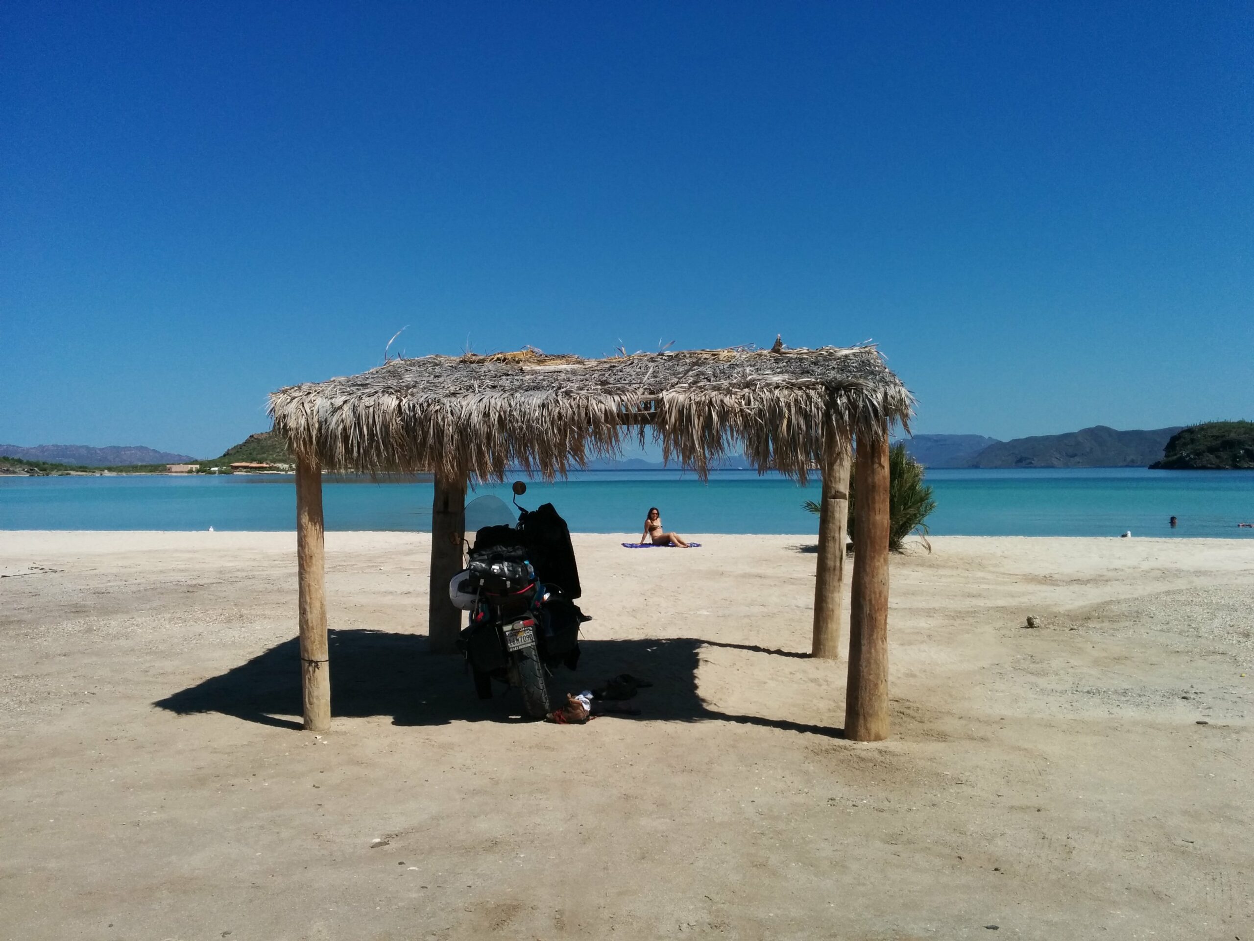
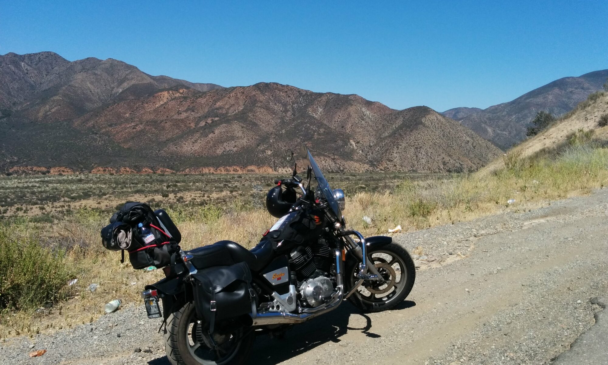
As for our steeds, we’ve settled on some fairly custom, totally kitted out Ducati Scramblers:

Mine’s in the front, Jackie’s is the white one behind it.

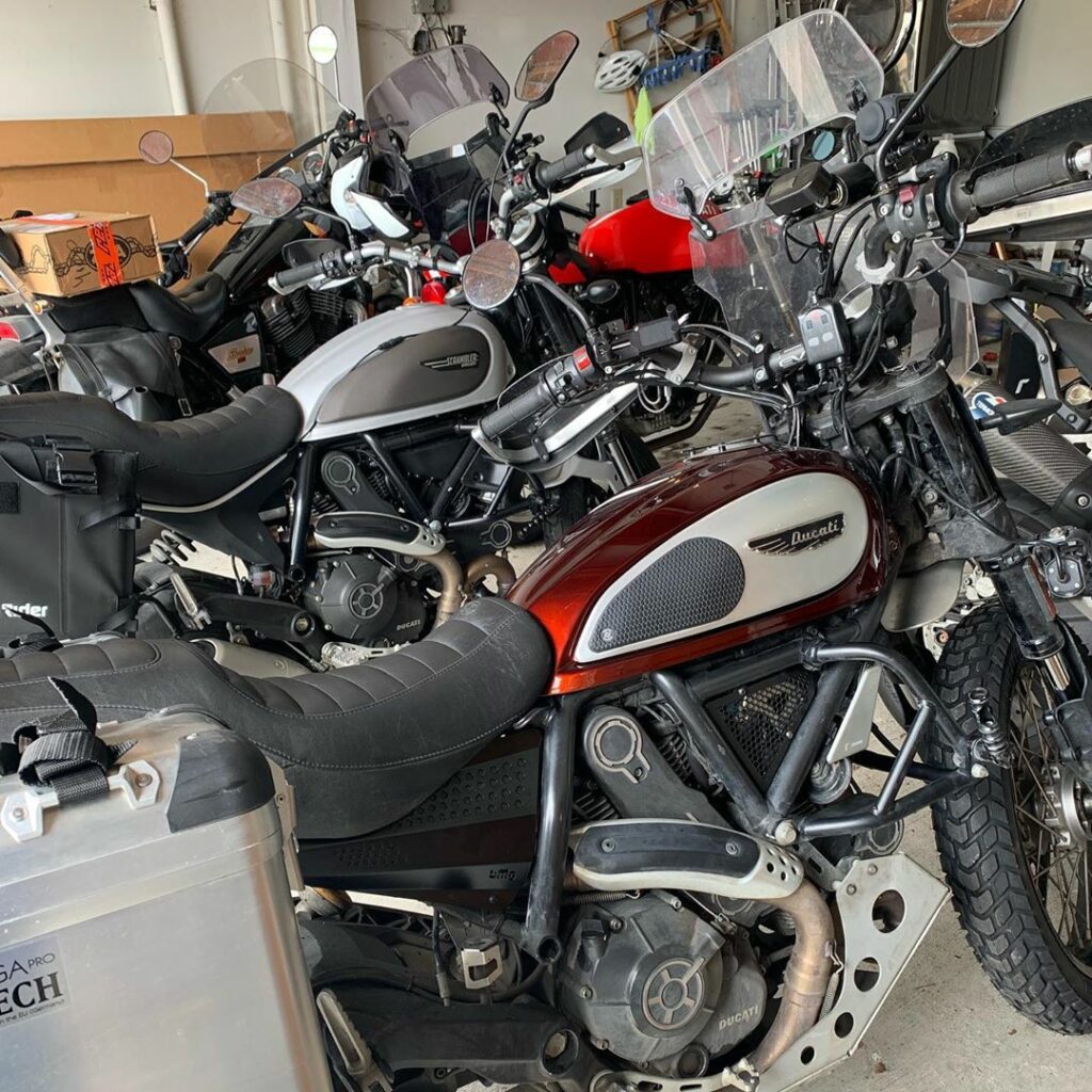
I could go on and on about how great I think these bikes are. Maybe I will soon. Probably will on the road. Very likely.

In a nutshell, these bikes are light, easy to ride, and easy to turn into what works for you. In our case, a totally rad pair of light adventure bikes, dialed in for shorter riders. Hashtag ADV, y’all.

We also have a variety of friends and family spread all across the country, with whom we’ll be linking up as we roll. Some of ’em are even gonna ride with us for part of the trip! (Yay!) Wanna tag along for part of the ride? Hit us up!

Tracking Progress

Of course, you’ll be able to follow along with us here. And you can see pics of what we encounter on Instagram. But to really set the record, we’ll need proof. Coordinates. Irrefutable evidence that we did this feat, and aren’t making it up.

We’re taking a variety of GPS devices with us to record progress. Our location gets updated roughly every 5 minutes, and you can follow along in near real time by visiting https://where.skyler.is to see our last recorded location.

Beating The Record

So there you have it. Go and find a road atlas, and get planning. Think you can plot a course to beat ours? You’d need to either go the same route in fewer days, or plot a route closer to the perimeter for longer distance.

Or, for another country than the USA, you’d need to plot a longer circumnavigation than this one.

Good luck out there. Keep your sunny side up, and your rubber side down!

To The End of Baja: Part 6, Dented Things

The ride from Gurrero Negro to San Felipe was, without a doubt, the most difficult ride I have done in my life so far. It consisted of three stages.

The first stage was short and easy: a quick ride north from Gurrero Negro into Il Desierto Central, stopping for gas at a hutch on the side of the road, filling our empty water jugs with reserve fuel for the next leg. This part of Mexico-1 runs along the West coast, and The Pacific keeps the air cool and pleasant.

After about 85 miles we came to the junction for Mexico-5—the second part—which would take us from the speedbump named Chapala (hard to call it a town) East across the desert back to The Sea of Cortez and the coastal town of Bufeo, and then North to San Felipe. We’d heard various inconsistent reports about the quality of the road, ranging from “terrible with large rocks, deep gullies, and no sign of civilization for dozens of miles in the sweltering heat” in the late summer of 2013 to “mostly paved with a small stretch of dirt and gravel with a road crew working to pave the rest” in the fall of 2014. One of these would be doable on the Shadow, the other wouldn’t. Considering it’d been the better part of a year since the last report, we decided to give it a go.

Heh.

The first eight miles were much as we expected: dirt, gravel, fairly flat, and managable. Around mile 8.5 the hills and gullies started, with sand drifts in the bottom of the gullies. By mile 10 the road presented hardcore rocks, six to thirteen inches in size and sharp, jutting out from the dirt as it wound its way along cliffsides through the mountains, with only the sides of the road remotely passable without utterly wrecking the undercarriage of the bike, merely scraping and banging it instead. At around mile twelve the sides became sandy and steep, threatening to throw the rear tire of the bike over the side of these steep edges, and to cast us down the slope and into the cactus fields below.

I found myself alternating between two tactics for navigating this road. Either I was in first gear, slowly crawling over the smaller rocks toward the center of the road if I could handle them, scraping and bashing my undercarriage on the ones I couldn’t avoid; or I was in second gear, darting from the right shoulder to the left and back, seeking out both the shoulder with less sand (or rocks) and a pass through the center which wouldn’t break open my crankcase.

A view of a rocky road from the pillion seat of Skyler's motorcycle

On a 200lb. dirtbike, alone, this would’ve been a breeze. On an eight-hundred pound cruiser, fully loaded with saddlebags, tankbag, trunk, and passenger, this was madness. I kept thinking to myself, “If we breakdown, or worse yet crash, it’ll be perhaps a day or more in the 100°F desert before someone comes along to find us. And what the fuck would I do about my ruined bike all the way out here?” Scenarios of trying to hire someone, not speaking any Spanish myself, to haul my bike out from a gully in this desert, up a cliff, spun in my mind. Then there would be the problem of getting it fixed, or back into The States inoperable. I wasn’t sure which would be harder. If I even survived such a crash. What about my passenger? If she was wounded, or worse…

Fear gripped me. I was already sweating from the work of the ride while in the heat with my leather jacket, so I coudn’t differentiate the fear-sweat from what I already was sweating. Small blessings. I pushed the thoughts from my mind to focus on a particularly threatening stretch of jagged rocks around a cliffside curve. Fear is only good for solving problems if used as a gentle motivator, and I already had plenty of motivation. Crawling over them as I was, it struck me that I didn’t really know how I was managing to get the bike over these large rocks.

“I’m not sure how I’m managing to get the bike over these large rocks,” I said aloud. That was when we fell.

The front tire had hit a particularly steep slanted rock, pitching the bike to the right, and I was unable to compensate without risking my leg on uncertain footing, so down we went. We fell toward the wall on our right, away from the cliff on the left, and the bike fell hard on the engine guard and saddlebag, laying on the jagged rocks beneath it. We both tumbled off, surprised, but unhurt.

The saddlebag was soft and filled with soft things, so it absorbed a lot of the impact without harm. The crash bar on the right side took the rest of the blow, and had bent back about 45°. Hoisting the bike back up, we inspected it for other damage, and largely found none. This was fantastic—the saddlebag was merely dusty, and the crashbars had done their job. Being easy enough to install myself, I was certain I could replace them if we got back to The States.

The bike started, so we got back on and went back at it. We passed a large crane rolling slowly along some miles further, and other large construction equipment some more miles beyond that, so it’s clear that progress is being made, if very slowly. We even passed “El Campo Sacrificio” (The Field of Sacrifice), a tiny, abandoned waystation evoking a kind of Burning Man appearance.

After two hours and twenty-four miles, The Sea of Cortez peaked out between two mountains as we crested a hill, and I saw something ahead of us which made my heart skip a beat.

Pavement.

Oh what a wonderful road it was. We sailed along at 75mph on what must now be Mexico’s most beautiful, smoothest, newest road; freshly paved and painted, with the turquoise Sea of Cortez on our right for miles and miles. This was the third and final part of today’s ride. It would be two hours of bliss as we rolled smoothly along toward San Felipe, a fitting reward for the trial we’d just endured.

San Felipe itself is formerly a bustling tourist hotspot, recently in a slide toward disrepair and ambivalence. Food and rooms are still cheap, if somewhat funky, but the sun and beaches largely don’t care, and spending a full day here in the stupefyingly warm water on the long sandy strands was just the kind of recuperation I like after the trial that was Route 5. An excellent capstone.

The next leg of the journey would take us through Mexicali and back into the USA, where hopefully my easy entry more than a week ago would prove to be just that.

To The End of Baja: Part 5, Cowboy

Cabo San Lucas is a crazy town, and seems to prove a point in the cities of Baja: it’s easier to drive into the heart of these cities than it is to get back out of them.

There’s plenty of party and activity to be had in Cabo, most of which you can read about elsewhere. For my part, The Lady flew down to join me in Cabo and brought her helmet, as she’d be riding pillion on the way back. She also packed all of her belongings into a nifty River Road tank bag which turns into a backpack, allowing us to zip the entirety of her stuff onto the bike in a matter of seconds. Completely worth it for anybody serious about a tank bag, if it fits your bike.

Now the real test would begin—I’d be retracing all the fuel-starved miles I’d run on the first round, but this time with an extra 140lbs. of weight from my passenger and her belongings on a bike already poor at fuel mileage.

It didn’t start well. Getting out of Cabo San Lucas back to Mexico-19 requires knowing the entirely unmarked route out of the city (which I didn’t) lest you find yourself on one of the many unpaved and rocky dirt roads the towns in Baja are riddled with (which I did). Took us a full 45 minutes just to find the damn highway, and 25 miles of crazy Mexican roads with potholes. Had we known the proper way, it’d have been 2 miles and 5 minutes.

To the bike’s credit, it was more than able to handle the crazy dirt roads fully loaded with passenger, and didn’t even squirm around its rear tire in the dirt. Not something that could be said of so many big V-Twins today with their fat tires and fork angles.

The same can’t be said for ground clearance, however, and Mexico has speedbumps the size of Godzilla. I left some nice new notches in a few of these, wincing as I did.

Day 1 of the ride back ended in Loreto, and cemented in my mind that some of the least interesting places to motorcycle on the Baja peninnsula are the parts south of Loreto and La Paz. While the highways are mostly good here, they’re also flat, hot, straight, and fairly dull compared to the other wonderful scenery to be found on the peninnsula.

Day 2 saw a large chunk of time spent at the beaches of Bahia de Concepcion, which are among some of the best I’ve yet experienced in the world. The Sea of Cortez is bathtub-water warm, and because it’s so protected from the tides of The Pacific, there are virtually no large waves; only the littlest ripplings against white- and black-sand beaches. This made it easy to get the bike down the steep dirt slopes to the hard-packed beach and park it beneath a cabana while we lounged in the luxurious aquamarine water. All the rich and ridiculous people on their yachts with their little fluffy dogs would take small watercraft to the beaches for food and beer at the restaurant shacks setup along them, harassing the locals the drunker they got. They can eat their hearts out—nothing says “screw you” to Fat Americanism like parking a motorcycle on a beach for a day in the Sea of Cortez.

A view of Skyler's motorcycle parked beneath a cabana on a beach in Baja

When we’d had our fill of beaches, we hopped back on the bike and burned it hard toward Gurrero Negro. There’s some ongoing road construction on Mexico-1 just Northwest of Santa Rosalía, and while I’ve handled this exact stretch of road already on this trip (and several others like it), this time we were stuck behind the unskillful driver of a large, newer pickup truck, kicking up huge plumes of dust along the dirt track we were traversing as we went. Slowing down didn’t seem to cut us any slack, as the dust clouds wouldn’t blow away appreciably, and in this mess I finally experienced a fall on the trip: caught by a large pothole filled with soft dust and dirt, the bike slid over on its right side, dumping myself and my passenger in the dust. Fortunately we were going under 10mph, and the crash bars I’d installed saved the bike from any damage (as did the soft dust). We recovered quickly, cursed the irresponsible driver of the pickup, and went on our way.

Given that we’d spent the bulk of the day on the beach the sunlight was waning fast, and we still had roughly two hours to go. This last stretch was straight and fairly cool in temperature, so no worries there, but we’d be heading directly into the setting sun. The Lady, concerned about this, asked if I thought I’d be alright with riding like that.

My response: “You mean I literally get to ride into the sunset across the desert on my faithful steed with my lady on the back? Hell yes!”

Watching the sun turn molten gold as it sank into the mists of The Pacific was a beautiful sight indeed. It was dusk when we rolled into Gurrero Negro, but still light enough to avoid the dogs crossing the road in front of us, ignorant or uncaring of their own wellbeing.

The capstone for the day? We got a nice little room for the night with a good hot shower at The Cowboy Hotel.  How apropos.

To The End of Baja: Part 4, The Cape

The ride from Loreto to Cabo San Lucas is smooth, fast, and easy, with one exception: La Paz.

In and of itself, La Paz seems like a destination for any manner of activities a person could want, ranging from sailing and snorkeling to clubs and fine cuisine. It’s easily the largest city on the cape, and getting into or out of it is a non-trivial task. Every street seems to be in some state of (de)construction, and is clogged with smelly trucks hauling a variety of dirts, asphalts, and industrial equipment. Total hassle to motorcycle around in.

Cabo San Lucas has some of the same qualities, being second largest, but seems to handle it better, providing easier access to and from Mexico-19 and Route 1. The city itself is a seething mixture of bumping clubs, tourism, local experiences, and beaches. If I was a decade younger, I’d drink it all up (literally), but now I’m plenty content to find a quiet spot to enjoy some tequila and smoke a cigar. Forunately, there are plenty.

I’ve picked up some interestingly shaped sunburns on the ride down here, and riding as hard as I did, I think it’s worth a few days of rest, both poolside and beachfront.

For now, it’s time to recharge my batteries. Fortunately, Cabo has plenty of things to help with that.

Like a booze cruise:

Or lounging around at the Hotel Santa Fe:

And its quite excellent beaches:

Yeah. I think I can deal with that.

To The End of Baja: Part 3, For The Love of Loreto

Baja is much longer than I think I gave it credit to be. The climate, like the state of California, is remarkably diverse.

After a lovely evening at the fanciest place in Cataviña (also the largest, and indeed rather extravagant for the middle of the desert), today consisted of perhaps the longest very hot ride I’ve done. Not the longest ride in total miles—roughly 600 miles over 8 hours today—but the entirety of it was through the insatiably hot, dry, desolate desert, and consistently at or above 100°F. Even the brief dip out to the West coast at Gurrero Negro was baking hot.

I’ve developed a fascinating burn where my fingers and hands are exposed to the sun by my riding gloves.

My intent was to meet my sister and her guy earlier on this trip rather than later, and every stop I made today was mere minutes behind them. They’re making the trip to the end of thepeninnsula in my sister’s VW diesel golf, which has the advantage of range over me by quite a large margin; her tank will easily cover 500+ miles, while my old Honda Shadow covers roughly 125 miles on a really lucky day before it runs bone dry. Gas in Baja is sometimes hard to come by for a shorter range bike such as mine, and I stopped at the roadside a few times to buy gas from big drums sold ad-hoc. All the guidebooks claim that this is an intermittent phenomenon, but I found it to be fairly reliable. In some cases, there are even roadside signs clearly marking a gas station, which turns out to merely be some guy with a rubber hose and a bunch of plastic gas cans.

Bound to catch them, however, I burned it hard on the long straight stretches through the desert, and being the only vehicle in sight for miles and miles at a time, I easily could peg and hold 100mph. Yes, yes, not the most efficient way to spend the fuel, but I was determined to catch them if I could. I had the advantages of speed and of nimbleness to squeeze past the slower moving vehicles on the road and the blessing of no police who gave a crap about a solitary rider screaming through the desert. The locals seemed to love it, though, and all waved an encouraging hello from the roadside as I went.

The stretch from Gurrero Negro to the Southeast is particularly grueling, and so far also the hottest, but with an amazing payout: cresting the volcanic mountains to glimpse the turquoise Sea of Cortez at the former colonial town of Santa Rosalía can only be improved by the cool, sweet breeze blowing in from the water. Santa Rosalía is a cute, bustling little town nestled in the mountains, where I was able to cool off in a nice cafe on the main drag with some water and a latte.

The road from Santa Rosalia to Loreto is simply breathtaking. It runs amid the cliffs against the sea, past a number of incredible white-sands beaches, with water as mild and beautiful as one could possibly desire. The beaches are sparsely populated, to boot—definitely worth another visit.

Cresting over a bluff with one of the incredible views so common on this road was where I managed to catch my sister and her guy, basking in the sun for a moment, enjoying the view. Mission accomplished.

After our brief reunion, it was on to the final leg of today’s stretch: the rest of the run to Loreto. This was the most harrowing part, as I passed the last gas station some 45 miles south of Santa Rosalia and didn’t fill, thinking that there would be more fuel to find in one of the small towns on the coastal road.

I was wrong.

These towns are little more than hutches on the beach, without so much as a convenience store, and often times consisting of nothing but some reed cabanas stuck in the sand. There isn’t a single soul selling gas from a drum by the roadside, and it would be another hour an a half from where I met my sister before we reached Loreto; another 75-80 miles, by my quick guess. My trip odometer read 45.2 miles when I met them, putting Loreto right at the edge of my range if I had been riding conservatively. I hadn’t been. I’d been burning it at more than 90mph to catch them.

I was at 125.4 miles when we rolled into Loreto, and 125.6 when I sputtered into the gas station at the edge of town. Hah.

Loreto is a beautiful, small town, still proudly showing its colonial roots. We found it to be eminently walkable, deliciously edible, and thankfully affordable. I will definitely come back to Loreto for a longer stay.

Tonight, however, I will sleep well in my cheap ($27!) room with air conditioning, a hot shower with good water pressure, and free WiFi.

Tomorrow, we run down to Cabo.

To The End Of Baja: 1 – SoCal

For the longest time, I’ve wanted to ride my motorcycle down to the tip of the Baja peninnsula. I’ve been up and down the California coast on the 1, the 101, and the I-5 (and a crapton of other general touring around), and Baja always seemed like a particularly rewarding, and challenging, mid-length tour.

I even tried to do it once, only to get rained on by the time I got down to San Diego, and to underestimate how long it would take to get down and back. I chickened out and stopped short, having covered only the southern part of US Route 1.

So when my sister laid out her plan to drive down and do some camping in Baja and back up the coast, my immediate response was, “In!” Meet in Baja, and make it down to the tip of the peninsula at Cabo San Lucas.

The plan overall: over three days of driving make it from my home in San Francisco down to the very tip of Baja Sur, and then turn around and ride back up slowly, enjoying the lovely white-sand beaches on the eastern coast of the peninsula.

Today was Day 1 of that ride, San Francisco to SoCal.

I’ve done this route a number of times for various other reasons, so it doesn’t hold much mystery for me any longer—while many folks extol US-1, I’m perfectly satisfied burning it down the I-5 as quickly as possible.

As expected, this was a particularly hot, dry, and dull ride all day. The California Central Valley is perhaps dryer and hotter now than it’s been in recent history; the product of a widespread and record setting drought.

I even had to dodge a tumbleweed today.

Trucks use this primarily for hauling things up and down the coast, so there’s plenty of traffic, and construction to boot. No fun to be had today on the ride, except for the sake of riding (fast) in and of itself. (And it should be said that the I-5 can certainly allow speed-demons to sate their palates.)

Tomorrow sees the entry into Mexico, and if I’m lucky, as far down the coast as El Rosario, or perhaps even Gurerro Negro.

We’ll see what time I get up.